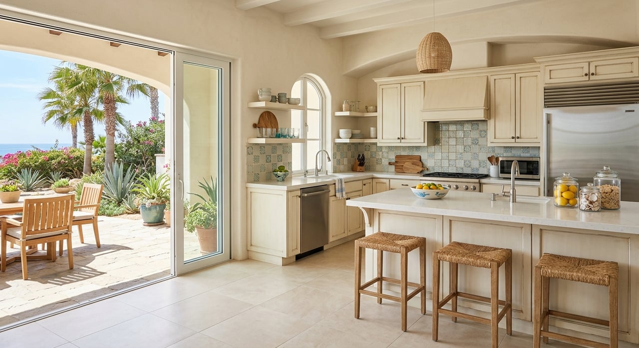
Wondering whether a canalfront home on Big Pine Key gives you easy boating access? That is one of the most important questions you can ask before buying waterfront property here. On Big Pine Key, canal access is not one-size-fits-all, and the right home for your boat depends on much more than a map pin. Let’s break down how Big Pine Key canal systems and boating access really work so you can shop with more confidence.
Big Pine Key Boating Works by Area
Big Pine Key stretches roughly from Mile Marker 33 to Mile Marker 29.5 and is often described by Monroe County as the gateway to the Lower Keys. That sounds simple enough, but the boating layout is more layered than many buyers expect. Instead of one island-wide canal system, Big Pine has multiple waterfront areas with different routes, conditions, and limitations.
That matters because a canalfront property in one part of the island may offer a very different experience from a similar-looking property somewhere else. Access can depend on the neighborhood, shoreline position, canal dimensions, and the route your boat must take to reach open water. In other words, Big Pine Key is better viewed as a collection of small waterfront micro-markets.
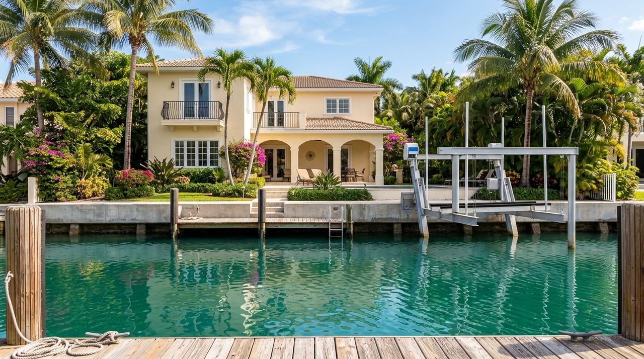
Canalfront Does Not Mean the Same Thing Everywhere
The term “canalfront” can sound straightforward, but on Big Pine Key it can describe very different boating setups. Monroe County’s descriptions of local launch areas make that clear. The Eden Pines ramp serves a long residential canal system that leads to open water, while the Koehn Avenue launch is intended for small boats and kayaks only and sits near very shallow water.
For you as a buyer, that is a practical reminder to read waterfront descriptions carefully. Two homes may both advertise canal access, but one may suit a powerboat with modest draft while another may be better for paddlecraft or very small vessels. The label alone does not tell the full story.
Why Neighborhood Matters
NOAA tide references separate Big Pine Key into several shoreline and channel areas, including the west side and Pine Channel, the northeast shore, the north end, Bogie Channel, and Newfound Harbor Channel. While that does not map every private canal, it does show that local water conditions and exit paths vary across the island. You should expect boating conditions to change from one area to another.
That is why experienced waterfront buyers do not stop at the lot line. They study the canal, the surrounding subdivision, and the full route out to open water. A property can look excellent on paper and still be a poor fit if the path out is shallow, tight, or restricted.
Bridge and Clearance Limits Matter
For larger boats, center consoles, and especially sailboats, route constraints may matter just as much as the canal behind the house. NOAA’s Coast Pilot notes that Newfound Harbor Channel is marked by navigational aids and that currents can set strongly with the channel. It also reports a controlling depth of 4 feet at one western bridge area and bridge clearances of 15 feet and 9 feet.
Those details are important because they can limit what type of vessel can safely pass through. Reported depths can change over time, so those numbers should be treated as directional rather than final. Still, they give you a strong signal that boating access on Big Pine Key is not just about being near water.
Overhead Restrictions Can Change the Fit
Florida’s boating-restricted-area notice for Monroe County also identifies a restricted area in part of Pine Channel south of U.S. 1. The rule was created to reduce mast contact with high-tension power lines, and it prohibits anchoring by sailboats and other masted vessels in that area for about 6,000 feet. If your boating plans include a taller vessel, that is a major factor.
A home may sit close to open water and still not work well for a boat that needs vertical clearance. This is especially relevant for sailboats and any setup involving towers or elevated equipment. Before you fall in love with a canalfront property, it is smart to trace every bridge, overhead line, and restricted segment from dock to open water.
Shallow Water Can Limit Daily Use
One of the biggest surprises for buyers is how much shallow water can affect day-to-day boating. Monroe County specifically describes the Koehn Avenue area as small-boats-only with shallow surrounding water. That language should be taken literally.
Even if a canal lot looks attractive from the street or in listing photos, boating convenience depends on what happens at low tide, in turns, and at the canal exit. A shallow route can reduce flexibility, limit departure times, or make the property less practical for your preferred boat size. That is why low-tide depth is one of the most valuable details to confirm.
What to Check in a Big Pine Key Listing
When you evaluate canalfront property on Big Pine Key, the most useful listing details are the ones tied to real navigability. General phrases like “boater’s paradise” are not enough on their own. You want facts that help you judge whether the property fits your vessel and your routine.
Here are the details worth prioritizing:
- Canal width
- Low-tide depth
- Dock length
- Dock condition
- Boat lift capacity
- Turning room
- Bridge clearances on the route out
- Any restricted channels or overhead obstacles
- Whether surrounding waters are described as shallow
If a listing mentions “small boats only” or “shallow waters,” assume that language is meaningful. On Big Pine Key, those descriptions can directly affect whether a property works for your boating goals.
Canal Quality Can Change Over Time
Another point many buyers miss is that canal conditions are not static. Monroe County canal records show that Big Pine Key includes canals that have appeared in water-quality evaluations and restoration planning. The county’s 2017 report identified Canal #278 in Eden Pines, and later planning documents listed several Avenues-area canals, including #293, #295, #297, #299, #300, and #315, on restoration lists.
The county’s 2024 to 2025 canal project list also includes several Big Pine canals for more comprehensive restoration. For buyers, that means a canal’s current appearance does not always tell the whole story. A listing photo may not show whether the canal is well-flushed, recently improved, or still part of an active county effort.
Why This Matters for Buyers
Canal restoration and water-quality status can shape your ownership experience. They may influence how the water looks, how the canal functions, and how you think about long-term use. At minimum, they are part of the due diligence picture for waterfront buyers who want a clear understanding of the property beyond the home itself.
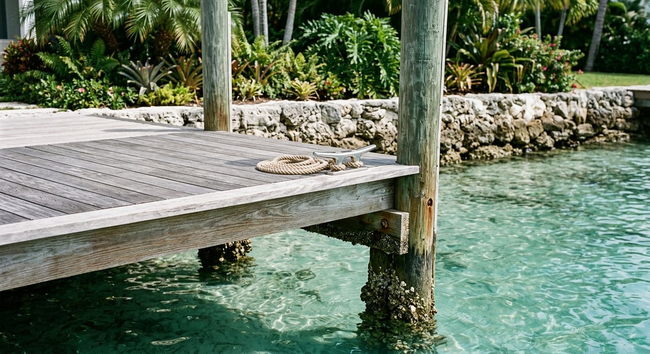
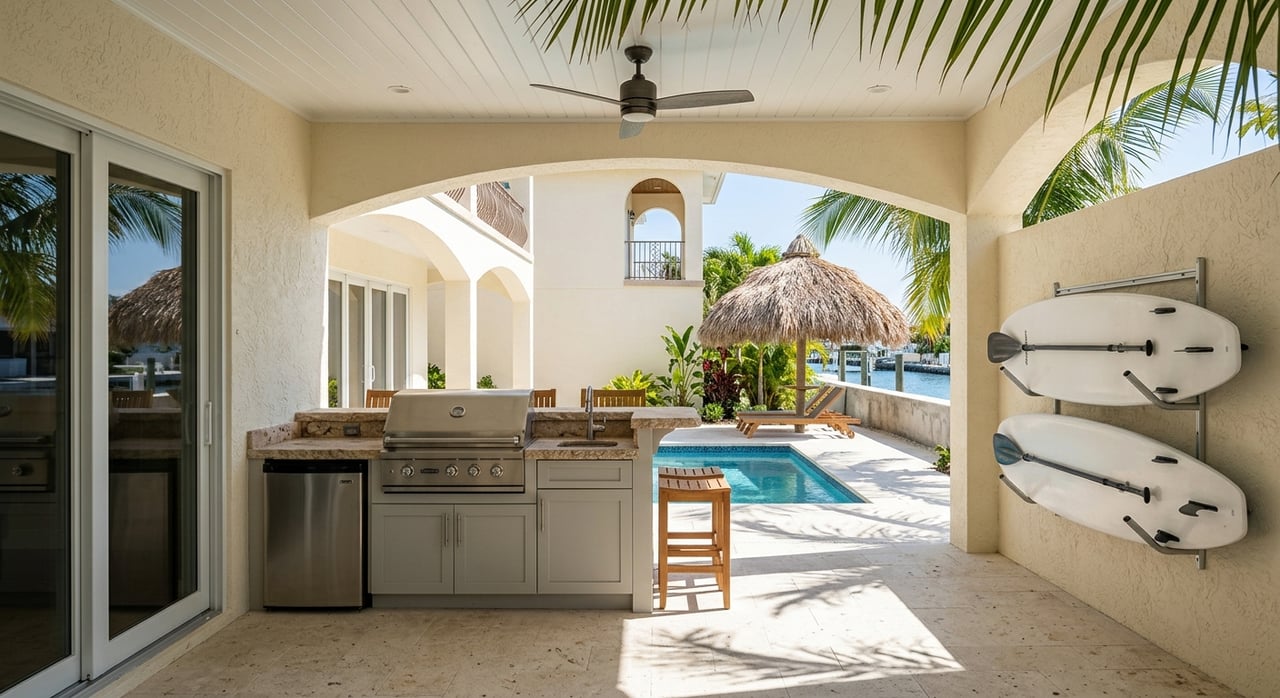
This is one more reason to evaluate a Big Pine Key property as both a residence and a boating system. The house, dock, canal, and route out all work together. If one piece does not fit your needs, the property may not perform the way you expect.
How to Evaluate a Canalfront Home
If you are comparing homes on Big Pine Key, it helps to follow a simple process. Looking at the house first is natural, but the boating route deserves equal attention. A beautiful waterfront home is only a true match if the water access supports the way you plan to use it.
Use this checklist as you narrow your options:
- Identify the exact canal and neighborhood.
- Confirm the route from the dock to open water.
- Check for bridges, overhead lines, and restricted areas.
- Ask about low-tide depth, canal width, and turning room.
- Review dock length, lift details, and overall condition.
- Note whether the area is suited for small craft or larger boats.
- Look into whether the canal has been part of county restoration planning.
That process can help you avoid a common mistake: assuming all waterfront access on Big Pine Key functions the same way. It does not. The best property for you is the one that matches your boat, draft, and boating habits.
Big Pine Key Rewards Careful Waterfront Shopping
Big Pine Key offers appealing canalfront opportunities, but success here comes from looking beyond the word “waterfront.” Some homes may provide straightforward access through a long residential canal system. Others may involve shallow water, tighter dimensions, bridge limits, or route restrictions that make them better for smaller vessels.
If you approach the search with clear questions and local insight, you can narrow in on the right fit much faster. The goal is not just to buy a home on the water. It is to buy a home where the water access truly works for the way you want to live and boat in the Lower Keys.
If you are exploring waterfront homes in Big Pine Key and want practical guidance on canal access, dockage, and route considerations, connect with Island Welcome Real Estate for local, concierge-style support.
FAQs
What does canalfront mean for boating access in Big Pine Key?
- On Big Pine Key, canalfront can mean very different boating experiences depending on the neighborhood, canal dimensions, water depth, and route to open water.
What should buyers check before purchasing a Big Pine Key canal home?
- You should check canal width, low-tide depth, dock length and condition, lift capacity, turning room, and whether the route out passes under bridges or through restricted areas.
Are all Big Pine Key canal homes suitable for large boats?
- No. Some areas have shallow water, limited turning room, or bridge and overhead clearance issues that can make them a poor fit for larger boats or taller vessels.
Why do bridge clearances matter for Big Pine Key waterfront homes?
- Bridge clearances can limit which boats can reach open water, especially if your route includes channels with reported low clearance or shallow controlling depths.
Can canal conditions change over time in Big Pine Key?
- Yes. Monroe County records show that several Big Pine canals have appeared in water-quality evaluations and restoration planning, so canal condition is not always static.
Is Big Pine Key one connected canal system?
- No. The island is better understood as multiple waterfront micro-markets with different shoreline references, channels, and boating conditions rather than one uniform canal network.